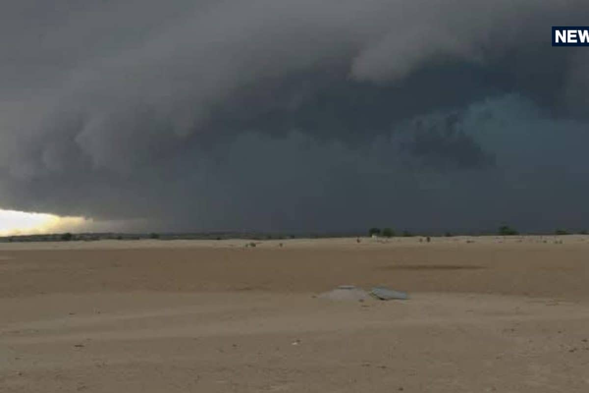
The weather pattern across Rajasthan is poised for a drastic transformation starting October 29, as confirmed by the Meteorological Center in Jaipur. Driven by the convergence of a newly formed cyclonic storm named 'Arnab' over the Bay of Bengal and an incoming western disturbance, several regions of the state are bracing for unseasonal thunderstorms and rainfall. This significant shift in atmospheric conditions poses immediate concerns for both urban centers and agricultural belts across the state.
Historically, the transition period between October and November occasionally witnesses such climatic aberrations, but the simultaneous formation of a cyclonic system in the Bay of Bengal and a western disturbance has intensified the current meteorological outlook. The Meteorological Center in Jaipur has been closely tracking the trajectory of storm 'Arnab', analyzing its potential moisture-laden reach into the arid and semi-arid terrain of Rajasthan over the next few days.
According to comprehensive statistical data released by weather authorities, wind speeds are expected to touch 30 to 40 kilometers per hour, with peak gusts potentially reaching up to 50 kilometers per hour in severely affected pockets. The precipitation forecast spans multiple administrative zones, placing districts such as Jaipur, Bharatpur, Ajmer, Kota, and Udaipur divisions under heightened alert for cloud cover, thunder, and varying intensities of rainfall on October 29 and 30.
Agricultural communities and local traders are expressing profound anxiety regarding the safety of standing kharif crops and harvested yields left in the open fields. Stakeholders have noted that sudden hailstorms and torrential downpours during this crucial harvesting window could inflict severe financial losses, prompting urgent discussions among farming cooperatives and local market committees about emergency protective measures.
The regional impact is particularly acute in northern parts of the Jaipur and Bharatpur divisions, where meteorological models indicate a high probability of medium to heavy rainfall accompanied by damaging hailstorms. Specific districts highlighted in the official weather warnings include Alwar, Dausa, Deeg, Dholpur, Jhunjhunu, and Sikar, alongside scattered light showers anticipated across portions of western Rajasthan.
In response to the escalating weather threat, administrative authorities and disaster management cells are maintaining strict vigilance across the vulnerable districts. Local administrations are reviewing emergency response protocols and ensuring that channels for disseminating timely meteorological updates to remote rural communities remain active and reliable throughout the duration of the weather advisory.
Looking ahead, meteorologists predict that the adverse weather conditions will persist through October 30 before gradually tapering off as the western disturbance moves eastward. Officials and experts continue to advise the public, especially farmers and rural residents, to strictly adhere to safety advisories issued by the Indian Meteorological Department, ensuring precautions against lightning strikes and crop damage until normal weather patterns resume.