
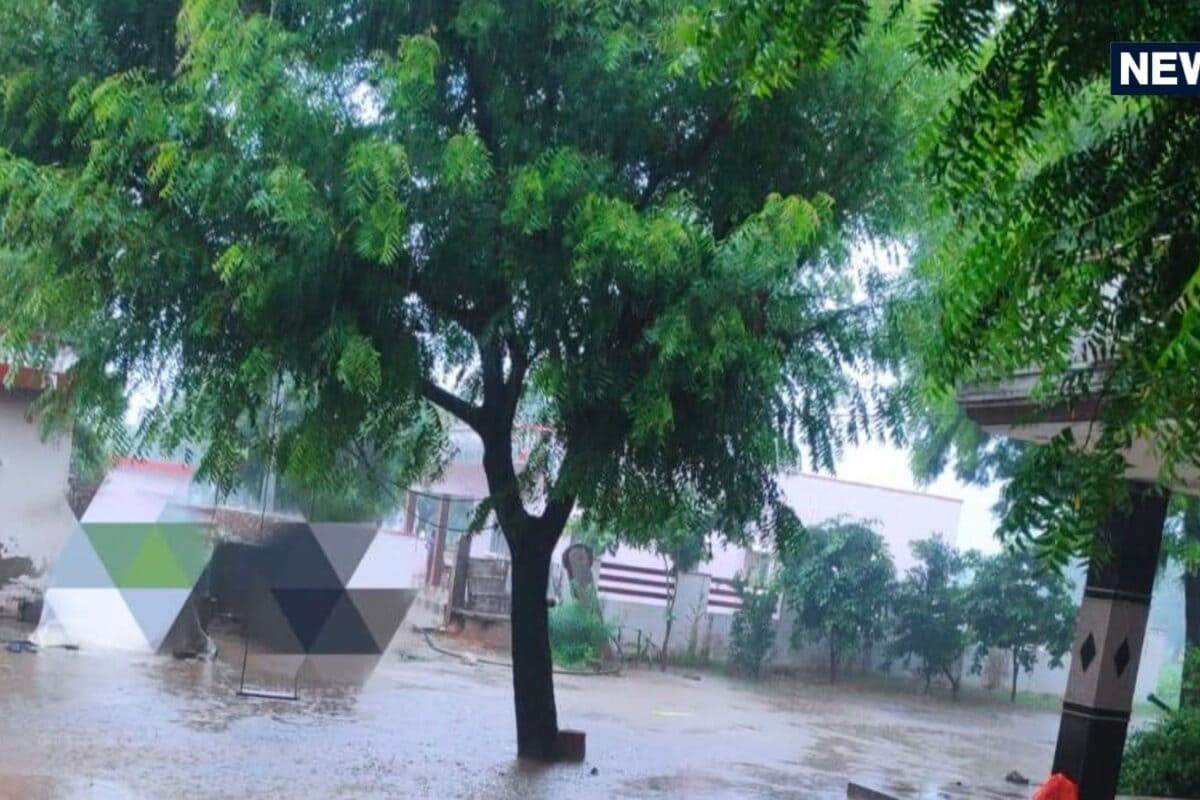
The meteorological landscape of Rajasthan is undergoing a dramatic transformation as monsoon conditions make a forceful comeback across the region. According to the latest weather advisories issued by monitoring bureaus, a fresh spell of widespread precipitation is anticipated to sweep across thirty-four districts starting from September 12 and continuing persistently through September 16. This significant shift in atmospheric conditions brings renewed hope for agricultural sectors while putting disaster management authorities on high alert for potential heavy downpours.
This revival of the monsoon is fundamentally driven by a low-pressure system that has formed over the coastal regions of southern Odisha and northern Andhra Pradesh in the Bay of Bengal. Meteorological experts analyze that this atmospheric disturbance is gradually traversing westward through central India, creating favorable conditions for moisture-laden winds to penetrate deep into the arid and semi-arid terrain of Rajasthan. Historical climate patterns indicate that late-season systems originating from the Bay of Bengal frequently deliver substantial rainfall to the western and northwestern parts of the Indian subcontinent.
Ground-level preparations are intensifying as the weather models project varying degrees of precipitation across multiple divisions of the state. During the peak phase of this weather activity on September 13 and September 14, specific pockets within the Kota and Udaipur divisions are slated to experience moderate to heavy spells of rainfall. Furthermore, the atmospheric instability is forecasted to trigger thunderous activities, lightning strikes, and brisk surface winds gusting between 30 to 40 kilometers per hour, necessitating caution among commuters and outdoor workers.
Agricultural communities, traders, and local residents are closely monitoring these meteorological developments as the impending rains hold substantial implications for standing kharif crops. Farming associations note that while timely moisture can substantially benefit late-sown crops, excessive downpours combined with high-velocity winds may pose risks of lodging in vulnerable agricultural tracts. Local business owners and transportation operators are also reviewing contingency measures to counter potential waterlogging and localized disruptions in urban and rural hubs alike.
In the regional context of Kotputli-Behror and surrounding areas within the Jaipur division, community stakeholders are bracing for an active weather spell that could alter daily routines and marketplace activities. Local civic bodies and market associations are sharing safety guidelines regarding lightning safety and wind-resistant measures, given that wind speeds are projected to touch 30 to 40 kilometers per hour. The local economy, heavily reliant on both agricultural productivity and unhindered trade corridors, stands to be influenced by the duration and intensity of these impending showers.
Administrative machinery across the thirty-four affected districts has been instructed to maintain heightened vigil during this five-day weather window. District disaster management cells, municipal corporations, and rural development agencies are coordinating emergency response frameworks to address any distress calls related to urban flooding, downed power lines, or rural inundation. District collectors have emphasized the importance of public safety advisories, urging citizens to avoid sheltering under isolated trees during thunderstorms.