
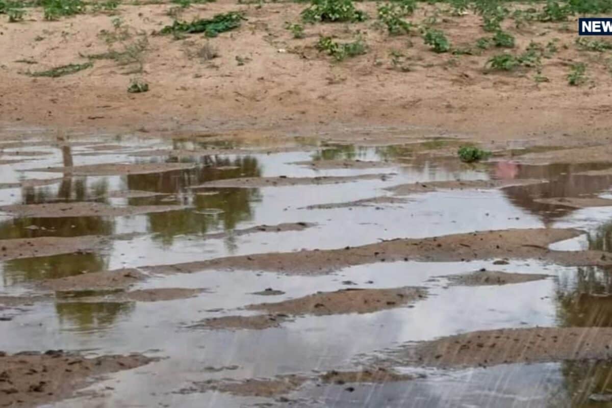
Monsoon activity across Rajasthan has intensified significantly as the seasonal withdrawal phase approaches, resulting in widespread downpours across multiple districts over the past 24 hours. According to weather observations, the heavy spells of precipitation have disrupted routine life, particularly in the southern and eastern belts of the state. The regional meteorological center has noted that active moisture currents continue to influence local weather patterns, bringing heavy to very heavy rainfall in various administrative divisions.
Reviewing the historical weather patterns for this time of September, the state typically experiences a gradual decline in monsoon intensity as winds begin to shift direction toward the north-west. However, localized convective systems and remnant low-pressure formations frequently trigger intense spells during the transitional fortnight. This year's late-season surges have caused significant accumulation of water in rural catchments and urban drainage networks alike.
In terms of specific statistical distribution, the last 24 hours recorded unprecedented figures, with Aspur in Dungarpur district receiving the highest downpour of 200 millimeters. Other regions experiencing severe rainfall include Salumbar, Ajmer, Beawar, Bhilwara, Bharatpur, Bundi, Sawai Madhopur, Sirohi, Tonk, and Udaipur. These heavy volumes have substantially replenished local water reservoirs while putting local administration on high alert for potential waterlogging.
Local stakeholders, including farmers, local traders, and civic administrators, have shared mixed reactions regarding this sudden deluge. While agricultural communities in drought-prone pockets welcomed the soil moisture for late-season crops, urban residents expressed concern over overflowing drainage systems and traffic congestion. Civic committees have been actively monitoring low-lying residential sectors to prevent any structural damage from incessant downpours.
Examining the regional impact on communities, districts such as Bhilwara, Bikaner, and surrounding areas have witnessed contrasting weather dynamics, ranging from overcast skies and intermittent showers in the east to clearing skies in the western fringes. Transport and mobility across several rural routes experienced temporary disruptions due to flooded pathways, necessitating cautious driving and restricted movement by local commuters.
Administrative authorities and disaster management cells have responded promptly by maintaining vigil across vulnerable zones as indicated by official warnings. District headquarters have coordinated with local emergency response teams to ensure rapid deployment of resources if water levels rise dangerously in local streams and minor rivers, safeguarding public infrastructure and residential safety.
Looking forward, the India Meteorological Department indicates that moderate to intense rainfall activities will persist across eastern and south-eastern Rajasthan on September 19 and 20, accompanied by thunderstorms, lightning, and gusty winds of 30 to 40 kilometers per hour. Concurrently, atmospheric conditions over western Rajasthan are turning favorable for monsoon withdrawal, with weather expected to remain predominantly dry across most parts starting September 21, although isolated showers may linger in Kota and Udaipur divisions.