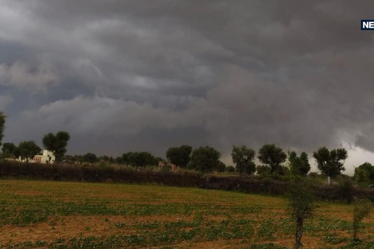
Rajasthan is poised for a notable weather transition starting today, October 8, as shifting atmospheric patterns begin to break the persistent October heat across the region. According to the Meteorological Department, northern parts of Rajasthan will experience immediate atmospheric changes characterized by cloud formations, gusty winds, and localized light rainfall activity. This sudden climatic variation brings a momentary sense of relief to citizens who have been enduring uncomfortably warm daytime conditions over the past several weeks.
The current meteorological situation has been developing due to upper-air atmospheric disturbances moving across the northern territories of the country. Historically, October serves as a transitional month between the withdrawal of the southwest monsoon and the onset of the winter season, often bringing sudden localized pressure drops and cloud bands. This annual shift typically triggers early warnings from weather forecasting agencies regarding temperature fluctuations and localized weather abnormalities across arid and semi-arid zones.
Detailed observational data released by the weather bureau indicates that the ongoing meteorological activities will predominantly impact five specific districts in northern Rajasthan. Bikaner, Sri Ganganagar, Hanumangarh, Churu, and Sikar are identified as the primary zones where skies will turn overcast accompanied by surface winds and light showers. Meanwhile, the state capital Jaipur will witness minor atmospheric variations with no expectations of widespread or heavy precipitation, maintaining dry daytime conditions.
Local communities, agricultural workers, and regional traders have expressed mixed reactions to these sudden climatic developments. While farmers in the northern districts view potential cloud cover and light showers as beneficial for soil moisture ahead of the upcoming rabi sowing season, urban residents continue to navigate high daytime thermal discomfort. Business owners in local marketplaces note that while daytime heat persists, the early morning and late evening hours have begun to feel noticeably cooler, shifting consumer routines.
Examining the broader regional impact, the topographical diversity of Rajasthan continues to create sharp micro-climatic contrasts across different divisions. While the northern plains experience the direct effects of incoming wind patterns, high-altitude tourist destinations are already recording significant chill factors. Meteorological monitoring stations in Mount Abu reported a minimum temperature of 14 degrees Celsius, marking one of the lowest night-time readings in the state and signaling the advance of winter conditions.
In response to these evolving weather forecasts, district administrations and disaster management cells across the affected zones have reviewed their preparedness protocols. Although no severe weather warnings or heavy rain alerts have been issued, local authorities remain vigilant to ensure that any sudden squalls or localized disruptions are managed efficiently without affecting public utilities, transport corridors, or agricultural supply chains.
Looking ahead, the Meteorological Department forecasts that the atmospheric impact will intensify in the coming days with the strengthening of an approaching western disturbance. Official projections indicate that significant temperature drops ranging between 2 to 3 degrees Celsius will likely materialize across the state following October 10 to 12. Citizens and administrative bodies are advised to stay updated on daily weather advisories as the region transitions deeper into the autumn and winter cycle.